

Green Threads helping to stitch past and present
Green Threads helping to stitch past and present

Share

Cera Stribley’s head of Landscape Design has a plan for turning a disused rail corridor into a landscaped trail through Melbourne’s eastern suburbs, connecting people to place and history.
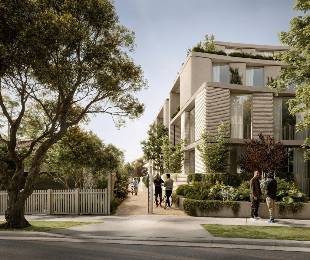
A new multi-residential development at the site of the former Barkers Station, in Kew, has been approved by the City of Boorondara. Tucked into that approval is a small piece of public infrastructure that could end up mattering more than the buildings around it: a bike path, reinstating a fragment of the site’s history as a piece of transport infrastructure.
That path is the first stretch of Green Threads, a landscape-led urban regeneration strategy proposed by Cera Stribley‘s head of Landscape Design, Carlo Gabriele. The idea is simple: look at the connections that already exist around us – old rail lines, bike paths, parks, waterways and streets – and find ways to strengthen them.
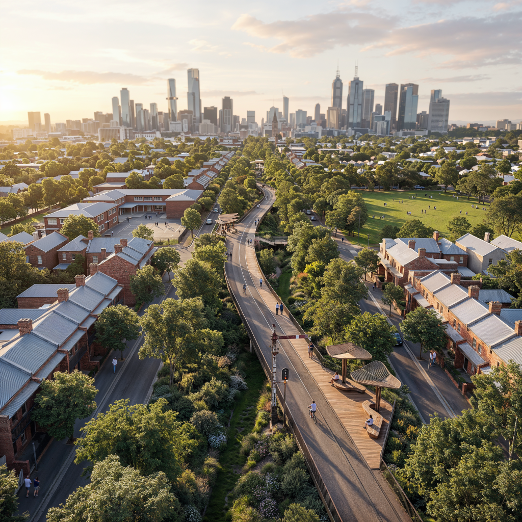
The Barkers Station site spans the width of the block, running from bustling Barkers Road through to the quieter, more residential Hawthorn Grove. “It started as a fairly practical idea,” says Gabriele. “We wanted to give a portion of the site back to the community in the form of a bike path, acknowledging its history as a piece of public infrastructure. But we also wanted to tell a story that had been forgotten – to bring some of that history back into people’s everyday experience of the place. It made sense from a planning perspective too, because it could benefit the wider community and align with Council’s objectives.”
Since then, it’s grown into something bigger: a proposal for a landscaped urban trail that would extend the idea well beyond the site boundary, through the neighbourhood’s parks, waterways and streets.
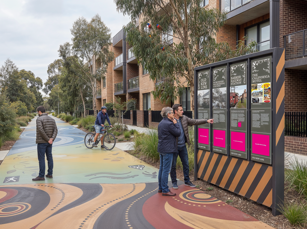
Old railway corridors have a particular kind of potential. Built to connect people and places, they often become redundant long before the infrastructure itself loses its value. Around the world, disused railways have been transformed into public spaces, green corridors and walking and cycling trails.
“There is already a network of paths and green spaces around the site,” says Gabriele. “Beyond our Barkers Road project, we began to see an opportunity to connect these pieces and extend that network into the broader community.”
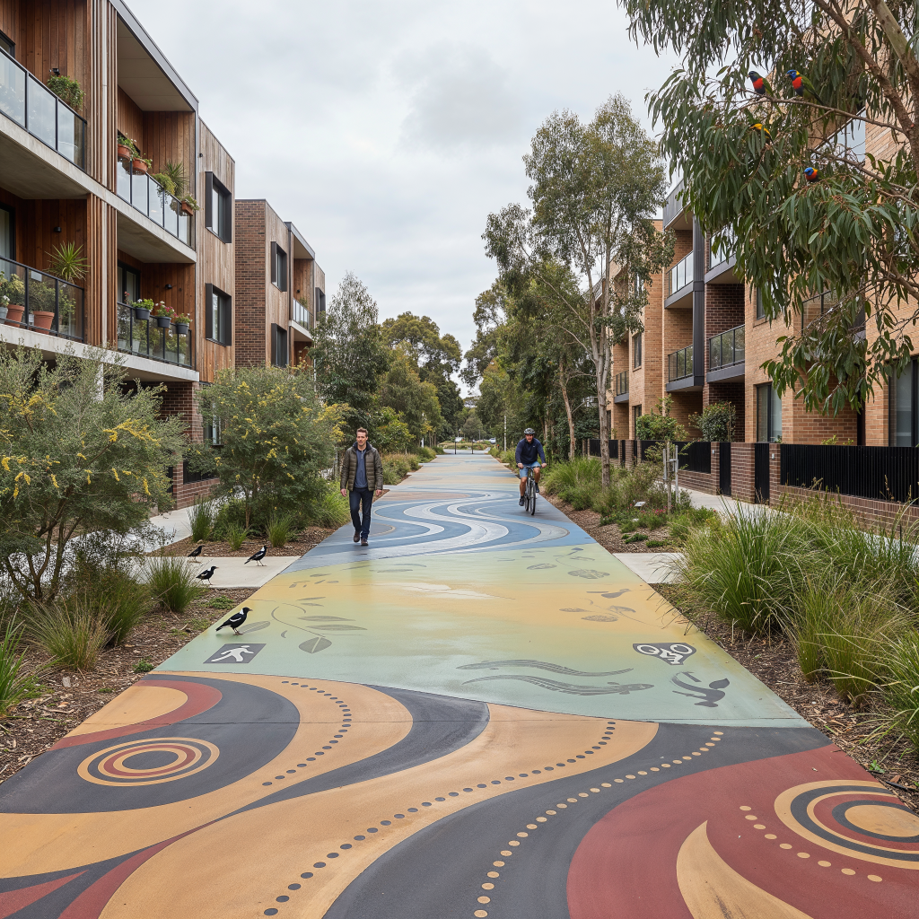
The proposed trail would link into existing routes including the Capital City Trail, Main Yarra Trail and Anniversary Trail, while opening up better access to local parks, schools and neighbourhood destinations. Rather than creating another stand-alone piece of infrastructure, the ambition is to add a missing stitch to something much bigger.
There’s a reason some of the world’s most liveable cities are also some of its most walkable and bike-friendly. The ability to move easily through a city without a car changes how people experience it, encouraging everyday movement, more chances to run into nature and other people, and it makes local destinations feel closer.
But Green Threads isn’t simply a proposal for better cycling infrastructure. A well-designed green corridor provides shade and cooling, supports biodiversity, manages water and creates habitat, while also giving people somewhere to walk, ride, stop and spend time. It can knit together fragments of urban nature in much the same way it stitches a neighbourhood back together.
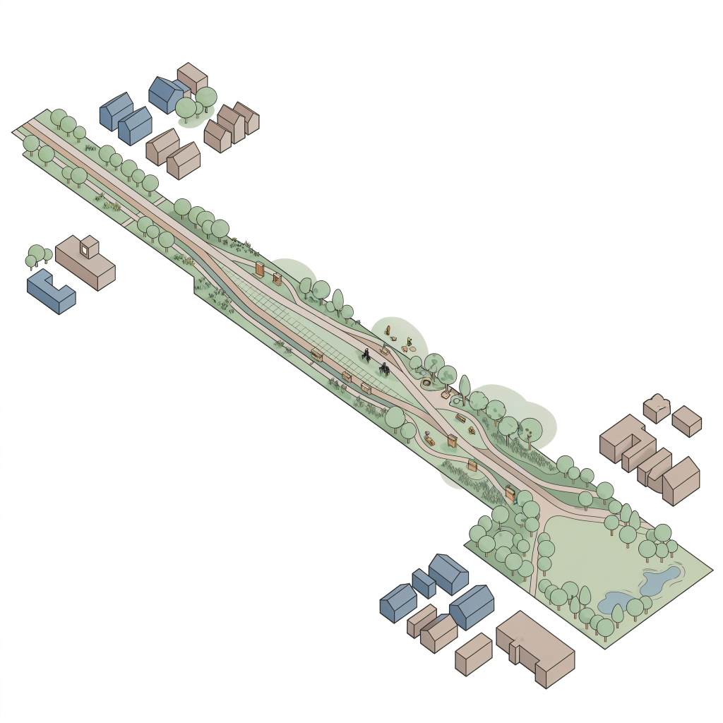
The history of the site is an important part of that story.
Before the suburban landscape we know today, this was Country, with its own ecological systems, stories and custodianship. Later, the railway became an important part of Melbourne’s growth, carrying people and goods into and through the eastern suburbs.
“Landscape gives us a way of telling the story of a place without having to be too literal,” says Gabriele. “The materials, planting, alignment and even the way people move through a space can all contribute to an understanding of where you are and what came before.” That creates an opportunity to make history part of the everyday experience of the trail – rather than something encountered only on a plaque. It also raises a broader question about development: how can new projects contribute to the identity of a place, rather than simply occupying it?
Cera Stribley collaborated with SHP, a heritage interpretation specialist, to curate a concept that combines graphic art, infrastructure, planting and wayfinding – weaving together a narrative that engages the community with both the pre- and post-colonial history of the area.
The idea of transforming obsolete infrastructure into public landscape isn’t new. At Duisburg-Nord in Germany, a former industrial site has been transformed into an expansive public landscape, retaining much of its industrial infrastructure rather than erasing it.
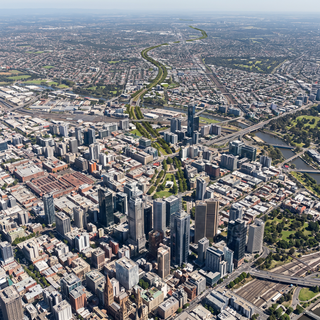
Milan’s Green Rays strategy threads a network of green corridors between neighbourhoods, improving pedestrian and cycling access across the city. In Singapore, the Park Connector Network stitches parks, waterways and open spaces into a much larger recreational network. The projects are very different, but they share a common idea: the most valuable piece of infrastructure may already be there. Rather than starting from scratch, they find what’s been overlooked, underused or cut off, and give it a new role.
“It’s an approach feels particularly relevant to a city like Melbourne,” says Gabriele. “Melbourne is growing rapidly, and with that growth there is a real opportunity for landscape to do more than simply soften development. It can help create connections and a sense of unity where the city has become fragmented – linking people, places and communities through the spaces that already exist.”
“Every project sits within a much larger network of streets, landscapes, communities and histories,” says Gabriele. “If you look beyond the boundary of a project, you start to see opportunities to repair what already exists or connect things that aren’t currently connected.
In Kew, that may mean making an existing park easier to reach or creating a safer route to a local school. If you start doing that across a city, all these individual paths can begin to form one continuous trail.”
For Cera Stribley, it’s an extension of a broader belief that good design starts with paying attention: to the people who will use a place, to the landscape it sits within, and to the layers of history that have shaped it.
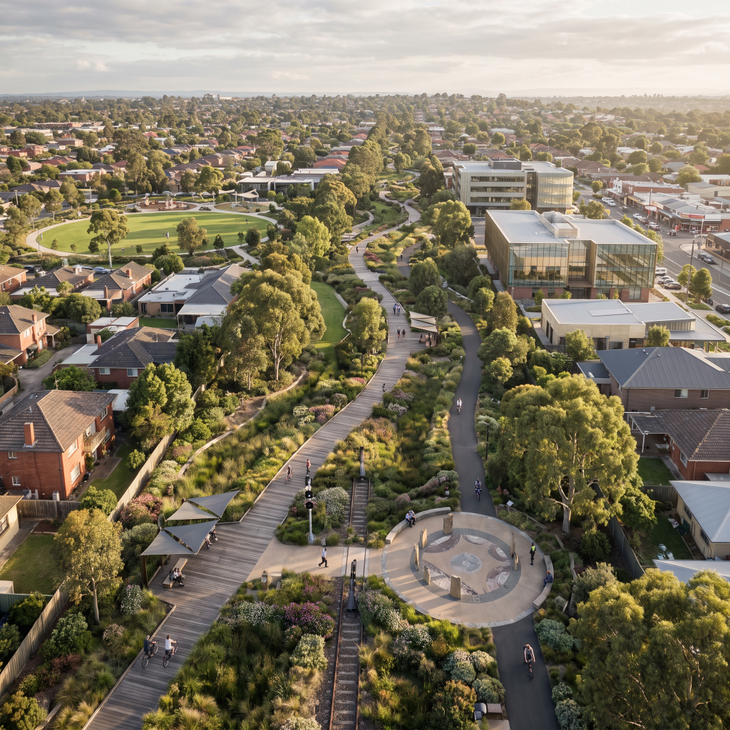
All images are artists’ impressions: Supplied.

© Niche Media 2026